

Great Smoky Mountain National Park is vast. Covering over 800 square miles, the hiking possibilities in the Smokies are endless. One of the park’s most popular is Alum Cave Bluff Trail.

The Alum Cave Bluff trail is located 9 miles south of the Sugarlands Visitor Center on Newfound Gap Road (Highway 441).

There are two parking lots at the trailhead, and restrooms are available. This trail is quite popular, so we arrived early to beat the crowds. Fortunately, there were plenty of spots when we arrived, but the lots were full when we left.

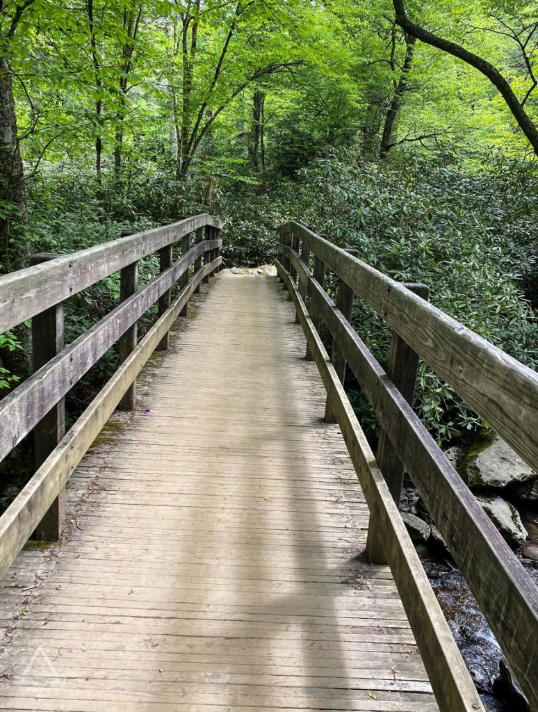
The trail begins with a bridge crossing Walker Camp Prong.
The hike continues to Alum Cave Creek and follows the creek for about a mile.

The trail then veers north along Styx Branch.

Along the first section of the Alum Cave Bluff trail, you’ll find some water crossings on sturdy foot logs.

Alum Cave Bluff Trail: Mile 1.4: Arch Rock
At around mile 1.4, the trail goes up and through one of the hike’s highlights, Arch Rock.

The National Park Service rates the first portion of the trail to Arch Rock as moderate.

After leaving Arch Rock, expect more elevation change. The section of the trail between Arch Rock and Alum Cave Bluffs is rated as strenuous with an over 580 feet elevation gain.

Hikers are rewarded for their effort with scenic views at Inspiration Point.

We hiked this trail in early June, and the rhododendrons were blooming!

Alum Cave Bluffs Trail: Mile 2.3 The Bluffs
At mile 2.3, you’ll reach Alum Cave Bluff. Interestingly, Alum Cave Bluff is not a cave. Instead, it is an 80 ft high bluff.

It’s a great place to stop for a break and enjoy a snack.

While you’re there, look up! You may even get lucky and see a peregrine falcon.

If you have more time and stamina, you can continue on another 2.7 miles to Mount Le Conte (mile 5 on the trail). We did not have either and opted to turn around at Alum Cave Bluff.

The out and back hike to Alum Cave Bluff is approximately 4.6 miles roundtrip. We took our time on this hike and spent about 4.5 hours.

Alum Cave Bluff trail was incredible! It offers so many fun features: the footbridges, the stairs in the arch, the stunning flowers, spectacular views, and falcons circling the bluff. With so much to see, this trail is hard to beat.
Check out 5 Sensational Great Smokey Mountain Trails

1 thought on “Alum Cave Bluff Trail”